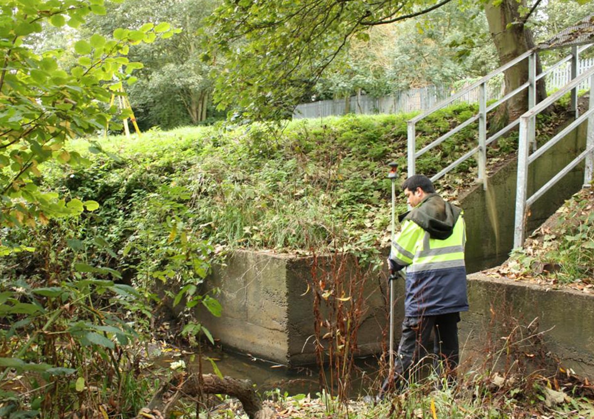
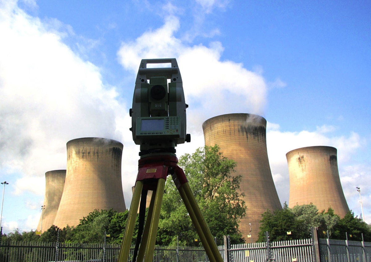
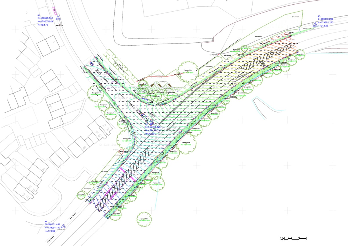
Apex Engineering Services has the capability to undertake and manage all forms of topographic data collection.
Apex Engineering Services engineers collect detailed information about natural and man-made land features and elevations in an efficient and cost-effective way to deliver data for establishing land boundaries, rights of way and fence lines, subdividing areas of land into lots, calculating areas, distances, directions, and cut and fill volumes, setting out new structures, and so on.
Features and Benefits
- cutting edge technology to collect, process and
deliver topographical data accurately and quickly
- our unmatched technical experience and planning
know-how virtually eliminate unforeseen issues and
expensive errors
- topographical survey data can be supplemented with
information from utility companies
- we use remote survey techniques to establish adjoining
property heights and locations where necessary
- we trace underground services to incorporate the location of buried utilities into surveys where appropriate


