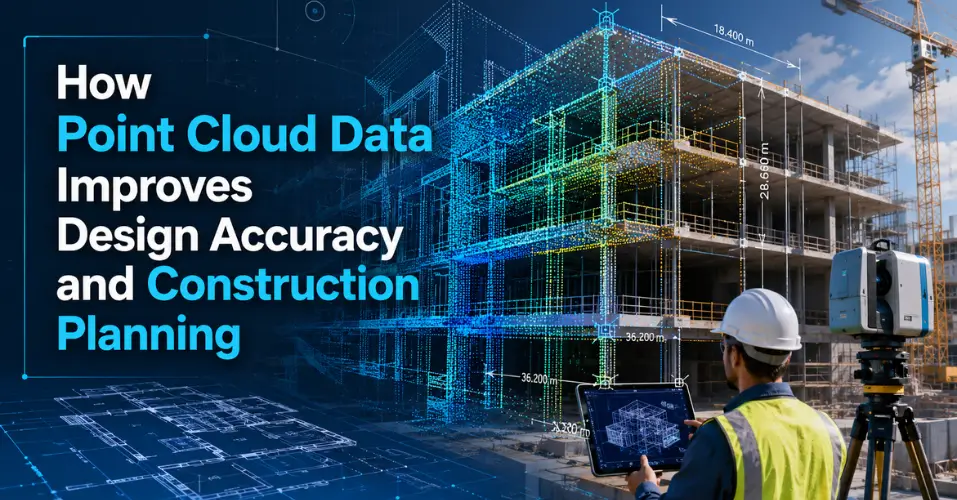
Point cloud data construction workflows give architects, engineers, and contractors an accurate digital record of a site before any design work begins. This reduces measurement errors, prevents costly clashes between new and existing elements, and gives project teams a reliable foundation for planning, coordination, and delivery.
In UK construction, where existing drawings are often missing, outdated, or simply wrong, this level of accuracy has become essential rather than optional. This article explains what point cloud data is, how it improves design accuracy, and how it supports construction planning from feasibility through to completion.
What Is Point Cloud Data in Construction
Point cloud data is a dense collection of measured points captured using 3D laser scanning. Each point carries precise X, Y, and Z coordinates, and together these points form a detailed digital representation of a building, structure, or site.
A laser scanner captures millions of points per second, recording the exact geometry of walls, floors, ceilings, structural elements, and surrounding features. Once processed, this dataset becomes the foundation for 2D drawings, 3D models, and BIM outputs used across the project lifecycle.
Because the data reflects real, measured conditions rather than assumptions, design teams work from facts rather than estimates. This single difference has a direct effect on both design accuracy and construction planning.
How Point Cloud Data Improves Design Accuracy
Manual measurement methods can miss subtle variations in wall alignment, floor levels, or structural positioning. Point cloud data construction surveys remove this risk by capturing consistent, verified geometry across an entire site in one process, giving design teams a level of accuracy that traditional methods cannot match.
Fewer Dimensional Errors
Laser scanning captures the true position of every surface, so design teams are not relying on assumptions about existing conditions. This helps prevent misaligned walls, incorrect floor levels, inaccurate openings, and structural clashes that would otherwise surface later in the project.
Better Coordination Between Consultants
Architects, structural engineers, and building services consultants often work from separate sources of information. A shared point cloud dataset gives every discipline a single, reliable reference. Structural elements, service routes, and architectural layouts can then be aligned against the same verified geometry, reducing inconsistencies between design packages.
Stronger Refurbishment and Retrofit Outcomes
Refurbishment projects frequently involve irregular layouts and existing conditions that are poorly documented. Point cloud data captures this complexity in full detail, allowing architects to design around existing features with confidence. This is particularly valuable on heritage buildings, where preserving original fabric depends on accurate information from the outset.
How Point Cloud Data Supports Construction Planning
Design accuracy is only part of the benefit. Point cloud data construction surveys also give project teams a stronger basis for planning, sequencing, and risk management on site.
Early Clash Detection
Once a point cloud is converted into a 3D model, new designs can be tested against existing structures and services before construction starts. Clashes and access issues are identified at the design stage rather than discovered on site, which helps avoid delays and unplanned costs later in the programme.
More Reliable Cost and Programme Planning
Accurate site data reduces the number of unknowns that typically affect construction planning. Structural constraints, level changes, and service routes are understood before work begins, supporting more dependable cost plans and reducing the likelihood of unexpected variations during the build.
Faster Survey to Design Handover
Modern laser scanners capture large or complex sites in a fraction of the time required by traditional survey methods. This shortens the period between site survey and design development, helping projects move into construction planning sooner without compromising on accuracy.
From Point Cloud Data to BIM Models
Point cloud data construction projects increasingly rely on this dataset as the foundation for building information modelling. Once captured and registered, the dataset is converted into coordinated 3D models within BIM software such as Revit, giving design teams an accurate as-built starting point.
This supports better information exchange between disciplines and aligns with the collaborative working principles set out in the UK BIM Framework. Because the model reflects verified geometry rather than assumed conditions, coordination between architectural, structural, and services teams improves throughout design development and construction.
Common Laser Scanning Deliverables Used in UK Construction Projects
On most point cloud data construction projects, the point cloud is rarely the end product on its own. Once captured, it is typically converted into a range of laser scanning deliverables depending on the requirements of the project, including:
- 2D CAD drawings, including floor plans, elevations, and sections
- 3D wireframe or mesh models
- Coordinated BIM models at the required level of detail
- Topographical and volumetric data for site planning
- As-built documentation for facilities management
Each deliverable serves a different stage of the project, from early feasibility work through to construction, handover, and long-term asset management.
Why UK Construction Teams Are Adopting Point Cloud Surveys
Existing drawings on many UK projects are incomplete, outdated, or missing entirely, particularly on refurbishment, retrofit, and change of use schemes. Point cloud data construction surveys give teams an evidence based starting point instead of relying on assumptions, which reduces risk across design, planning, and delivery.
This approach also supports safer data capture, since much of the scanning work can be carried out from the ground or at a safe distance, reducing the need for working at height or entering restricted areas. For property developers, contractors, and facilities managers, the result is a more reliable digital record that supports decisions long after construction is complete.
Frequently Asked Questions
Is point cloud data more accurate than traditional site measurements?
Yes. Laser scanning captures millions of coordinate points across a site, which is significantly more accurate than manual measurement methods.
Can point cloud data be used for smaller construction projects?
Yes. Even small extensions and refurbishments benefit from accurate digital site information before design work starts.
How is point cloud data converted into BIM models?
The registered dataset is imported into BIM software, where it forms the basis for coordinated 3D models used across design and construction.
Does point cloud data replace a measured building survey?
Point cloud data usually forms part of a measured building survey, providing the detailed geometry that supports the final drawings.
What laser scanning deliverables can be produced from a point cloud?
Typical outputs include 2D CAD drawings, 3D models, BIM outputs, and as-built documentation, depending on project requirements.
Conclusion
Point cloud data construction surveys give project teams a verified, accurate record of existing conditions before design and construction planning begin. This reduces dimensional errors, improves coordination between consultants, supports earlier clash detection, and provides a reliable foundation for BIM modelling and laser scanning deliverables across the project lifecycle.
At Apex Engineering Services, our 3D laser scanning and survey control services are built to give architects, engineers, and contractors the accurate site data they need for confident design and construction planning. To discuss how point cloud data could support your next project, get in touch with our team.