
Survey Control
At AES, our Survey Control Services provide the foundational precision required for all phases of construction, from initial site assessments to the establishment of the final building footprint. Our highly experienced survey teams deliver comprehensive primary and secondary control, ensuring accurate placement of gridlines, datums, and essential benchmarks for your project. With a focus on quality and adherence to best practices, our survey control services are guided by stringent quality management systems and align with each client’s specific project requirements.
Why Choose Our Survey Control Services?
Survey control is the backbone of any successful construction project, ensuring that all subsequent stages are built on a precise and reliable foundation. Our service is designed to meet the highest standards, integrating the Ordnance Survey national grid and the architect’s established criteria to develop a customised control network that fits each site’s unique conditions. Benefits of our survey control services include:
- Enhanced Accuracy: Establishing precise survey control minimises the risk of misalignment, supporting accurate positioning across all construction stages.
- Compliance with Best Practices: Our quality management systems and adherence to client business processes ensure that every aspect of our work aligns with industry standards.
- Real-Time Data Access: With innovative web technology, clients can access survey data in real-time, directly on their desktops for efficient project tracking.
Advanced Survey Control Technology for Precision and Efficiency
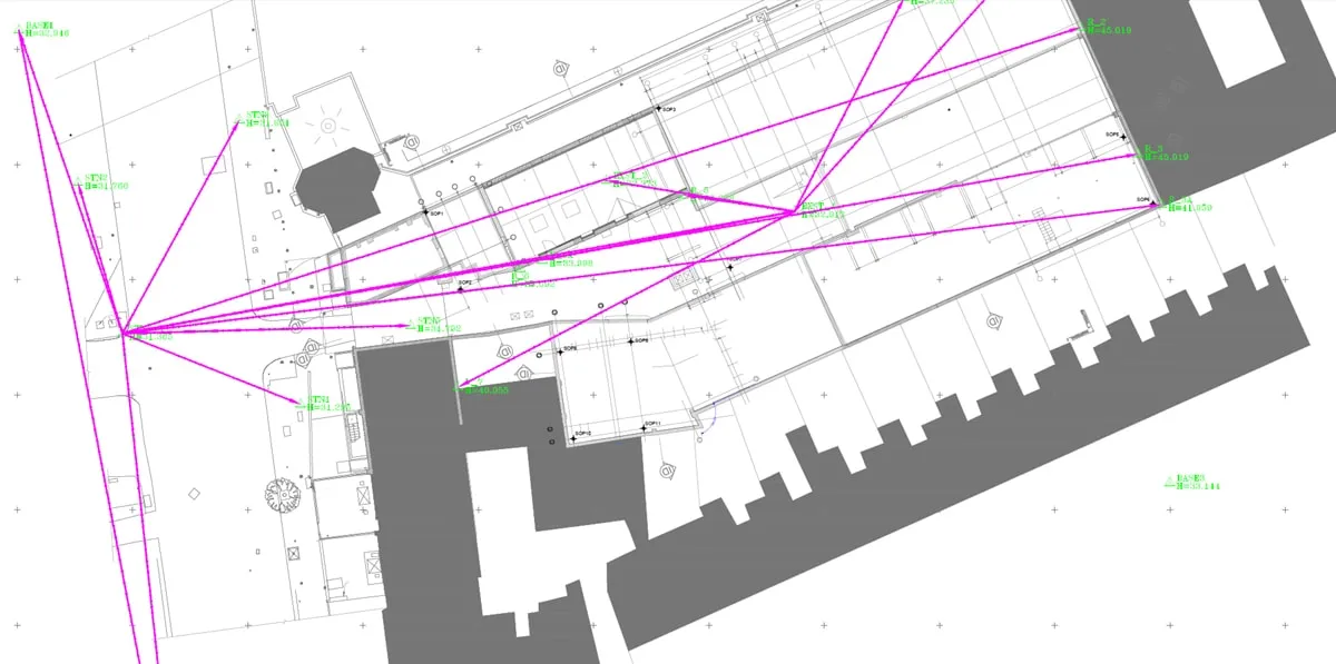
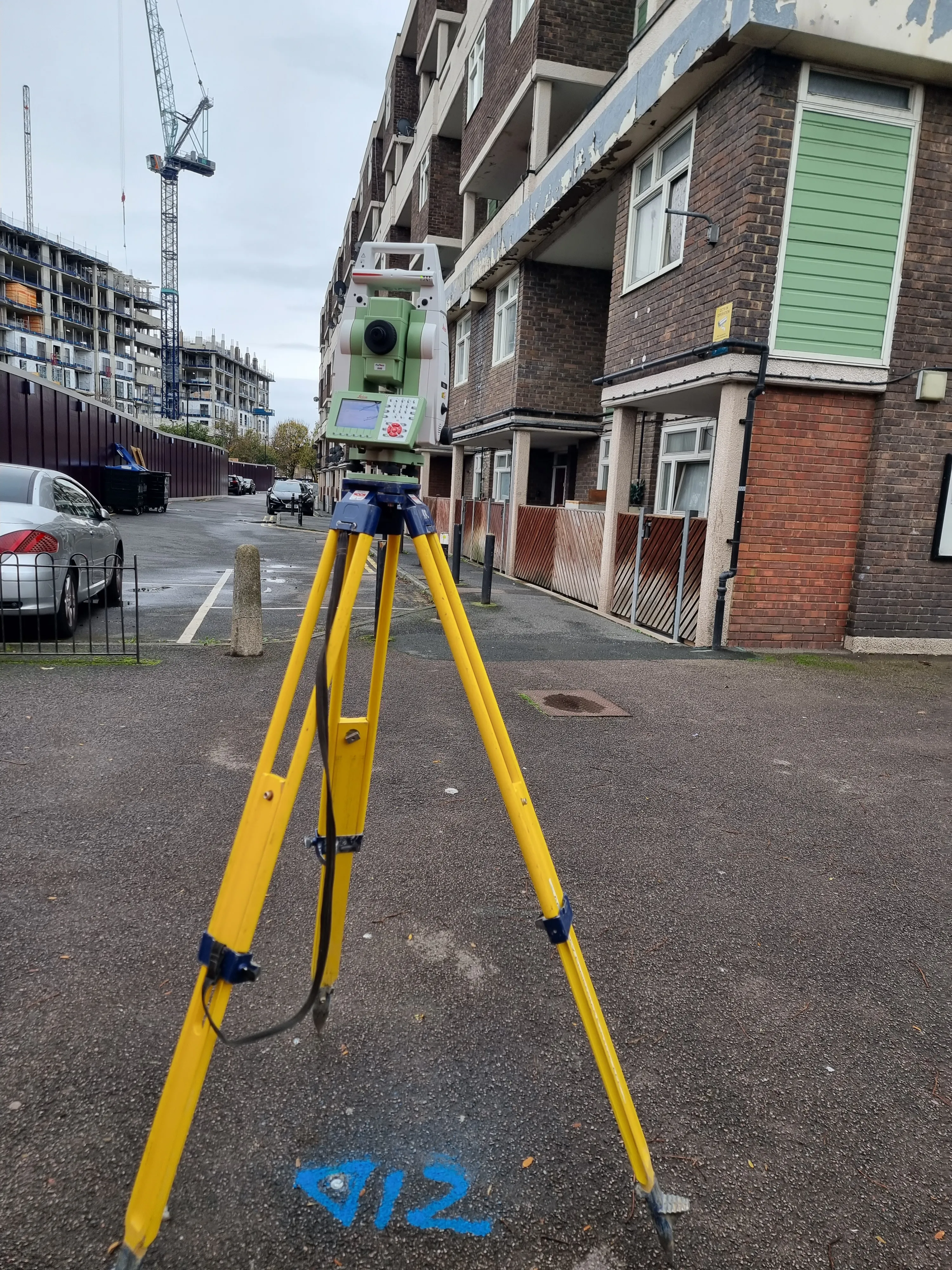
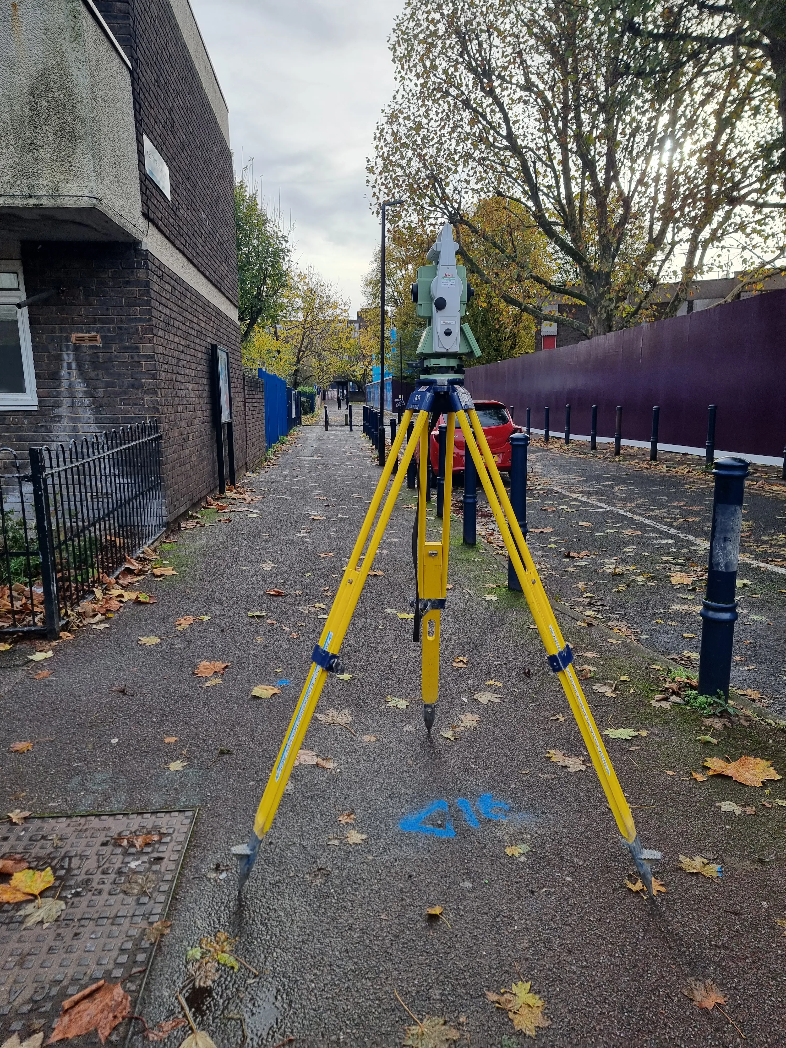
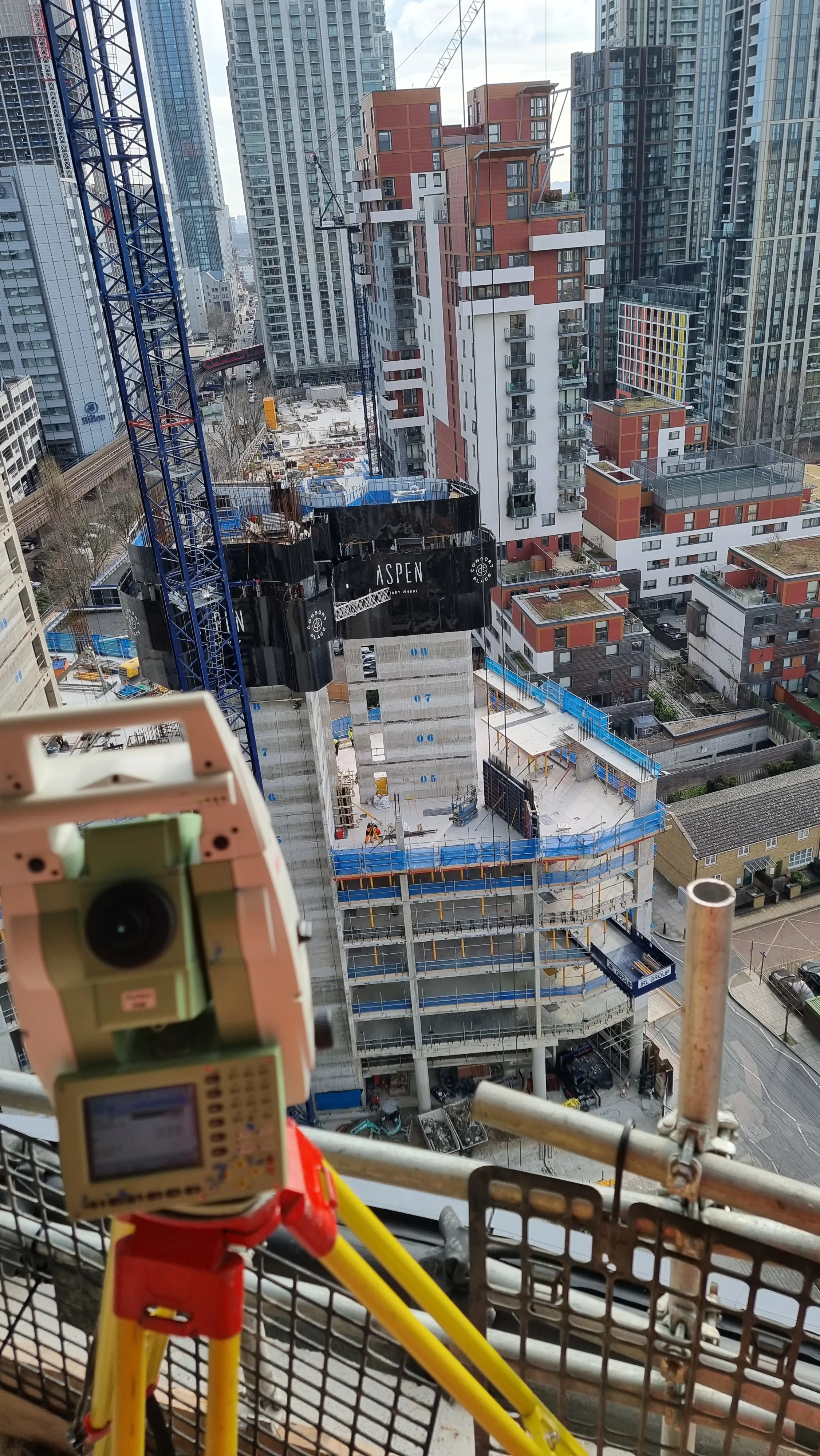
Our team employs modern surveying instruments, GPS technology, and web-based solutions to establish survey control networks tailored to each project’s needs. By establishing both primary and secondary control points, we create a robust, interconnected framework that guides every aspect of the construction process. Our data transfer methods allow seamless integration of digitised design data directly into survey instruments, reducing the potential for errors and ensuring consistent accuracy.
Comprehensive Survey Control Solutions
Our survey control services are meticulously crafted to meet the unique requirements of each project, including:
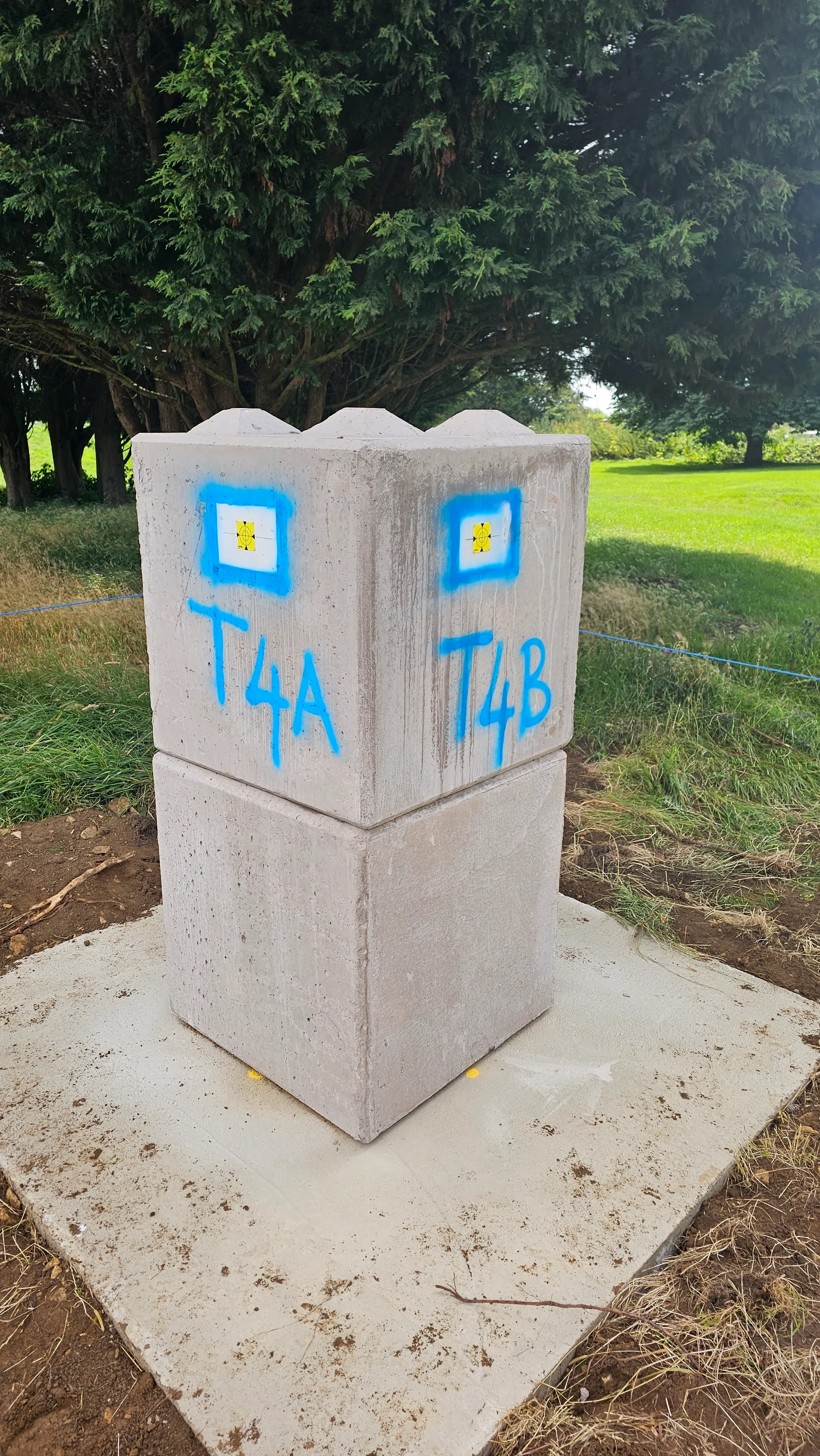
- Relating Architect’s Criteria to Ordnance Survey Grid: Aligning architectural setting-out criteria with the national Ordnance Survey grid to create a precise control network.
- Best-Fit Grid References: Developing grid references tailored to site-specific conditions, ensuring a custom solution for accurate alignment.
- Real-Time Data Delivery: Using advanced web-based technology, we provide survey data in real time, allowing clients to monitor progress remotely and make timely decisions.
- Digitised Coordinates and Input to Instruments: Our engineers digitise and upload coordinates from design data directly into survey instruments, ensuring efficient and error-free data handling.
Benefits of Apex Survey Control Services
With our survey control services, clients receive reliable, precise, and scalable solutions that enhance project efficiency and reduce risks associated with misalignment. Key benefits include:
- Consistency Across All Levels: From primary to secondary control, our services ensure a stable and reliable framework for accurate positioning at every project stage.
- Efficient Data Management: Real-time data access and seamless integration with design specifications streamline workflows, saving time and reducing potential for errors.
- Tailored to Project Requirements: Our survey control networks are customised to meet the architect’s setting out criteria and the specific conditions of each site.
Applications of Our Survey Control Services
Our survey control services are essential for a wide range of applications across construction, civil engineering, and infrastructure projects, including:
- Establishing Project Baselines: Providing primary control to define project baselines and support precise positioning of critical features.
- Building Footprint and Gridline Establishment: Laying out gridlines and building footprints according to architectural and engineering specifications.
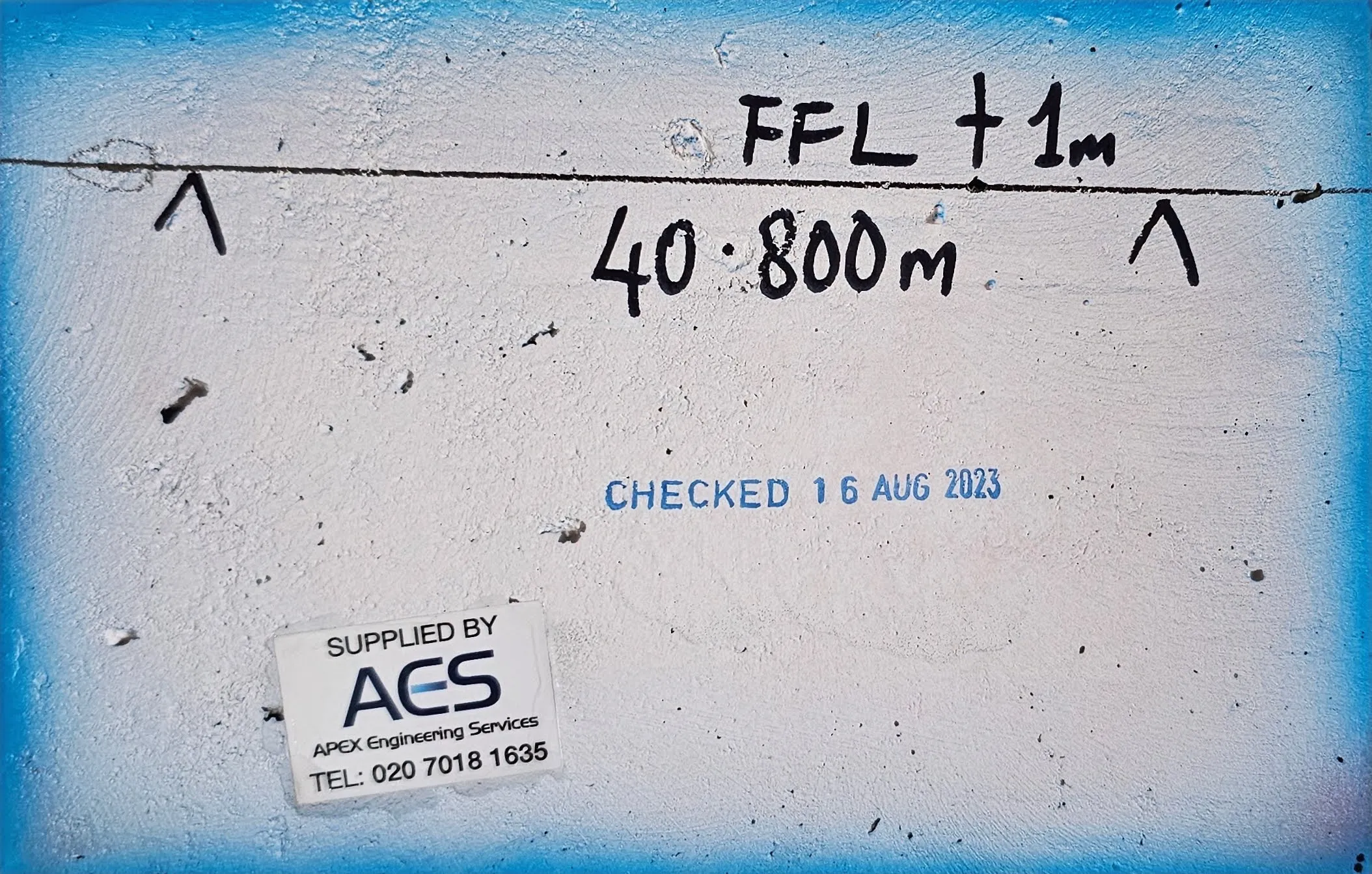
- Level and Datum Transfer: Accurately transferring datums from Ordnance Survey stations or creating local level datums as needed.
- Complex Infrastructure Projects: Supporting infrastructure development with a solid, reliable framework that enables consistent positioning of roads, utilities, and structures.
Contact Us
Contact Apex Engineering Services today to learn more about this service
Contact Us

AES Featured Clients


© 2026 All Copyright rights reserved APEX Engineering Services Ltd.