
Topographical Surveys
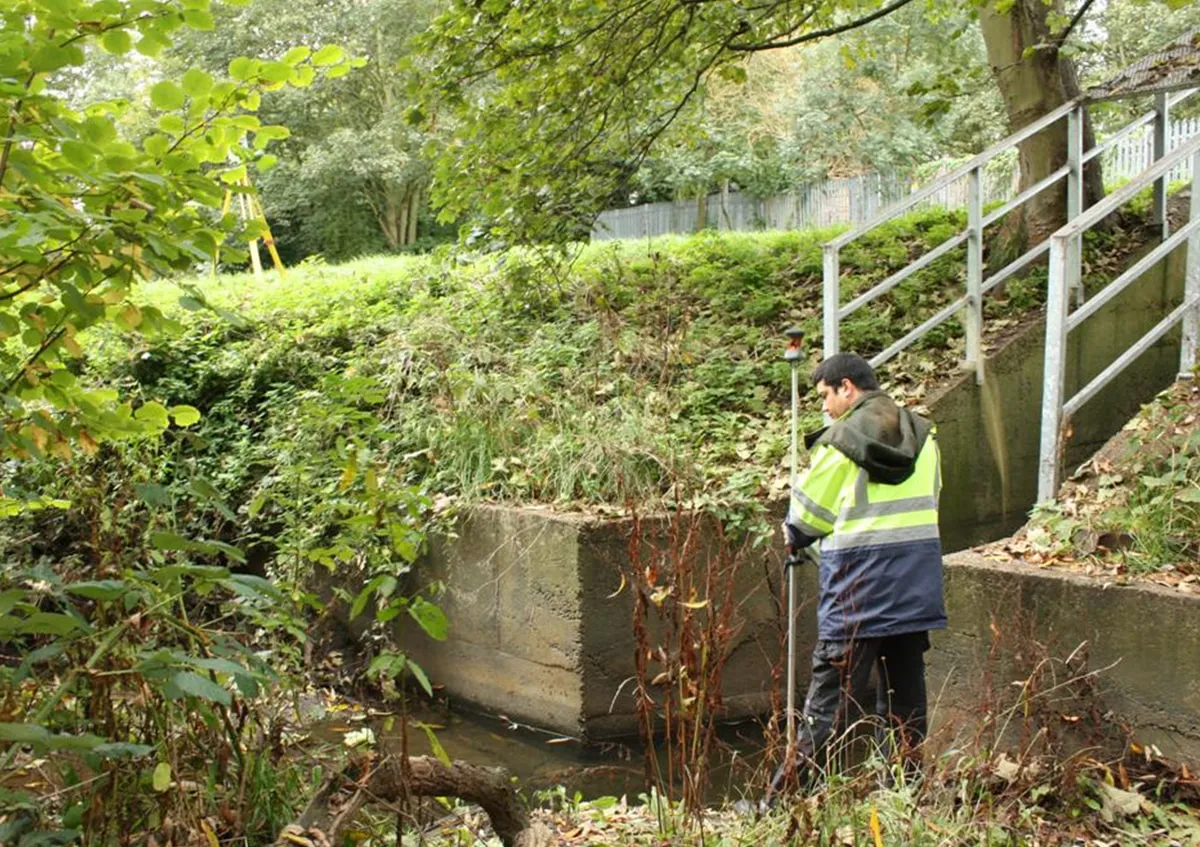
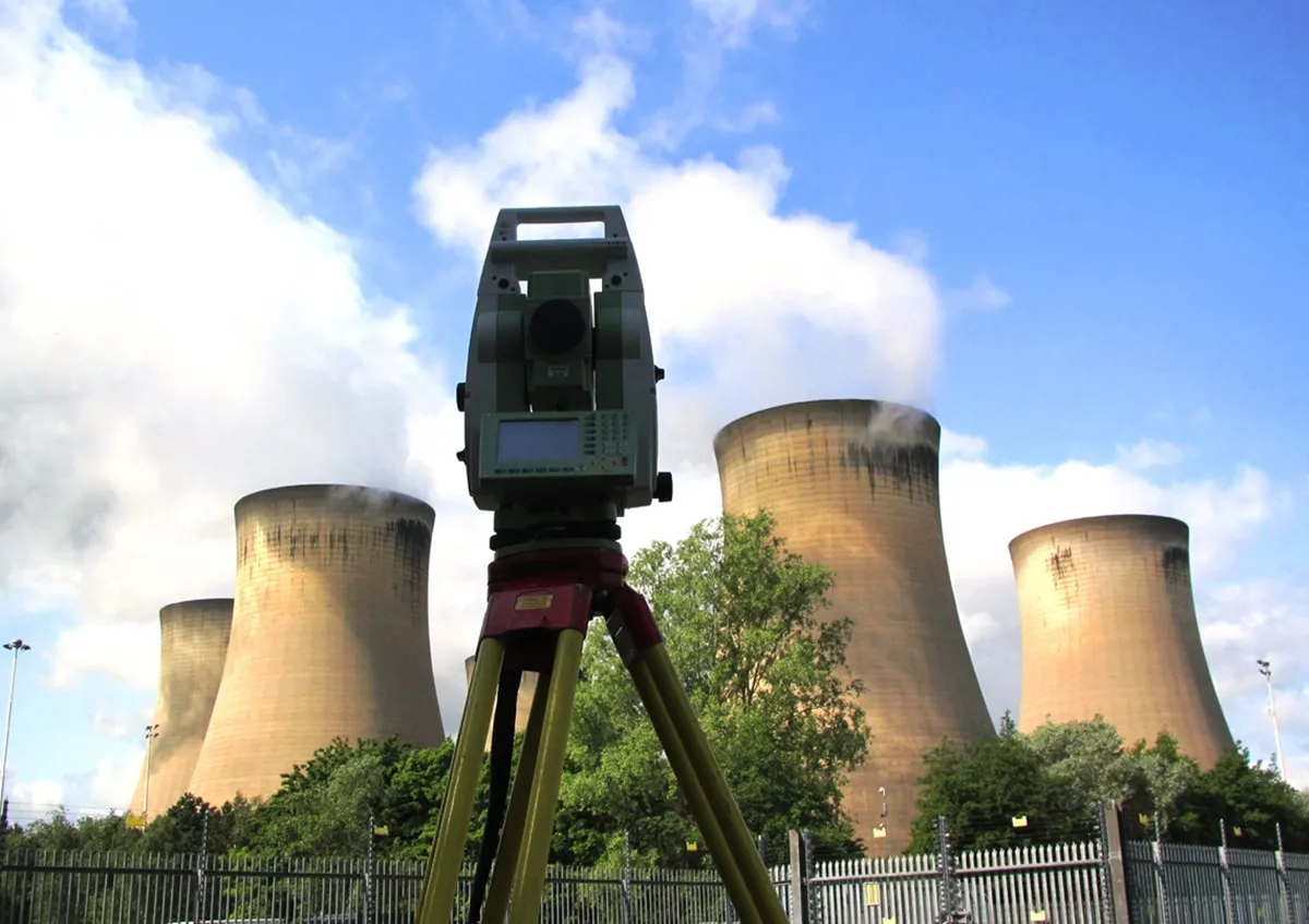
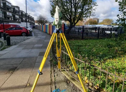
At AES, our Topographical Surveys Services deliver precise and detailed mapping of both natural landscapes and man-made features on your project site. Our skilled surveyors use the latest GPS/GNSS (Global Positioning System/Global Navigation Satellite System) and total station technology to capture essential data points, ensuring high levels of accuracy and dependability.
Why Choose Our Topographical Surveys Services?
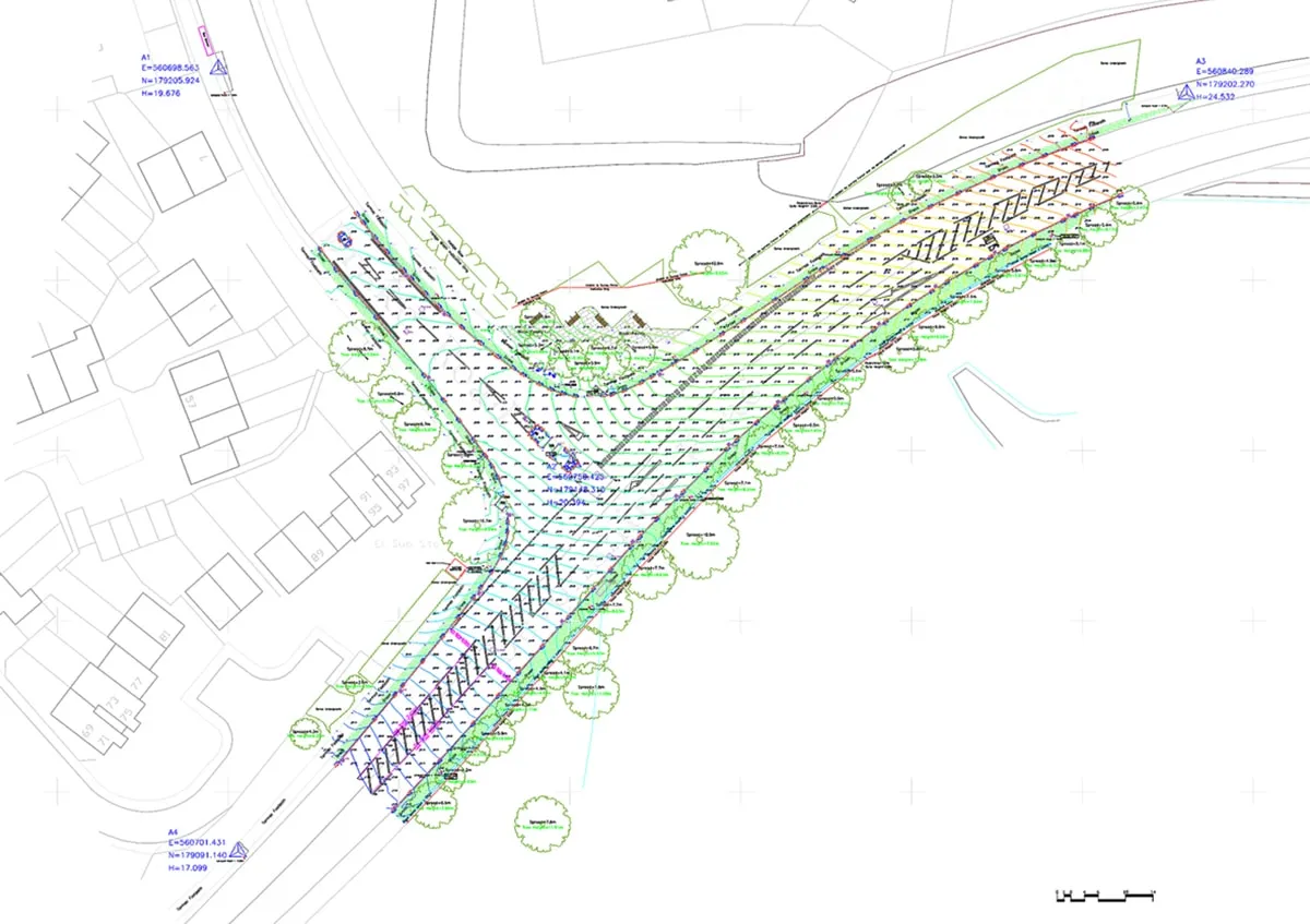
Our topographical surveys are designed to provide an accurate representation of the land's contours, elevations, boundaries, and existing site features, including utilities and drainage systems. By gathering comprehensive data on both surface and subsurface details, we support seamless site planning, design, and construction processes. Our topographical surveys are essential for:
- Site Planning: Precise mapping helps to inform strategic planning, identifying potential challenges and opportunities at an early stage.
- Design Enhancement: Architects, engineers, and landscape designers benefit from precise, reliable data, allowing them to create designs that respect the actual terrain and environmental constraints.
- Construction Efficiency: Detailed topographical information supports effective project execution, reducing the risk of delays caused by unforeseen site conditions.
Cutting-Edge Technology for Reliable Results
Using the latest in total station technology and high-precision GPS/GNSS equipment, we capture and process topographical data with the highest accuracy. Our methods also integrate laser scanning and 3D modelling capabilities, enabling us to capture complex landforms and building measurements in fine detail. Every survey is customised to meet the specific requirements of your project, providing you with the clarity needed to make informed decisions.
Comprehensive Digital & Hardcopy Outputs
AES provides topographical surveys results in both digital and hardcopy formats, tailored to meet your needs. Our clients receive precise, easy-to-use maps and plans compatible with industry-standard CAD and GIS software, allowing for a smooth workflow integration. Whether you need 2D maps, 3D models, or detailed elevation profiles, our deliverables are designed to aid decision-making at every stage of your project.
Benefits of Apex Topographical Surveys
With our topographical surveys services, you receive a solid foundation for making well-informed decisions, improving project efficiency and safety. Key benefits include:
- Informed Decision-Making: Access to accurate, comprehensive site data allows for well-founded decisions at each project stage.
- Risk Minimisation: Identifying site constraints and potential hazards early on reduces the risk of costly delays during construction.
- Regulatory Compliance: Our surveys are conducted to meet the highest industry standards, ensuring that your project aligns with relevant regulations.
Applications of Our Topographical Surveys Services
Our topographical surveys are versatile and suited to a wide range of applications, including:
- Residential and Commercial Development: Delivering a clear view of the site and helping to integrate structures naturally within the landscape.
- Infrastructure Projects: Assisting with the planning and layout of roads, railways, pipelines, and utility networks.
- Environmental Assessments: Providing data to assist planners and environmental consultants in understanding a site's ecological impact.
- Land and Boundary Disputes: Offering accurate boundary marking to support legal processes and property disputes.
Contact Us
Contact Apex Engineering Services today to learn more about this service
Contact UsAES Featured Clients


© 2026 All Copyright rights reserved APEX Engineering Services Ltd.