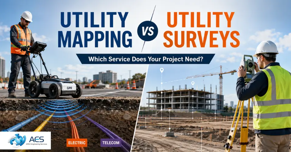
Before any excavation, piling, or groundworks begin on a UK construction site, project teams need to know exactly what lies beneath the surface. Two terms come up constantly in this process: utility mapping and utility surveys. Many contractors use these terms interchangeably, but they are not always the same thing, and choosing the wrong one can leave gaps in your site data. Utility mapping refers specifically to locating and recording the position of buried services using non-intrusive detection methods, while a utility survey is often the broader term used for the full process of identifying, verifying, and reporting on underground and above-ground utilities across a site. Understanding the distinction between utility mapping vs utility surveys helps you commission the right service, avoid unplanned costs, and keep your project compliant with UK safety standards.
What Is Utility Mapping?
Utility mapping is the process of detecting and recording the position of underground services such as electricity cables, gas pipes, water mains, telecoms ducts, and sewer lines. The output is a marked-up drawing or CAD file that shows where each service runs, how deep it sits, and what type of asset it is.
Underground utility mapping relies on non-intrusive detection equipment. Surveyors use ground-penetrating radar (GPR) and electromagnetic locators (EML) to trace buried assets without breaking ground. This makes utility mapping a fast, low-disruption way to build a picture of a site before design work begins.
Utility mapping is typically carried out at the planning and design stage of a project. It gives engineers and designers enough information to route new services, avoid existing infrastructure, and reduce the number of intrusive investigations needed later.
What Is a Utility Survey?
A utility survey covers the full investigation of a site's existing services, combining several detection and verification techniques into one deliverable. In addition to GPR and EML detection, a utility survey often includes radio detection, manhole lifting, and drainage location to confirm what utility records suggest is present.
The term utility survey is sometimes used as an umbrella phrase that includes utility mapping as one of its components. In practice, a utility survey produces a more complete site record because it combines detection with physical verification steps, such as opening inspection chambers or tracing connections between manholes.
Utility surveys are commonly instructed alongside topographical surveys, giving project teams a single reference that shows both above-ground features and underground services in one drawing.
Utility Mapping vs Utility Surveys: The Key Differences
The core difference between utility mapping and a utility survey comes down to scope and depth of verification.
|
Factor |
Utility Mapping |
Utility Survey |
|
Primary purpose |
Detects and locates buried services |
Detects, verifies, and documents full site utilities |
|
Methods used |
GPR, EML |
GPR, EML, radio detection, manhole lifting, drainage tracing |
|
Intrusiveness |
Non-intrusive |
Mostly non-intrusive, with some physical verification |
|
Typical project stage |
Early design and planning |
Pre-construction and detailed design |
|
Output |
Utility drawing showing routes and depths |
Comprehensive utility report, often combined with topographical data |
Utility mapping answers the question of where services are located. A utility survey answers that same question and adds a layer of verification, cross-checking detected data against physical site features such as manhole covers and inspection chambers.
Neither service tells you the internal condition of a pipe. That is the role of a CCTV underground pipe survey, which inspects drainage from the inside using a camera system. Utility mapping and utility surveys locate what is there. CCTV surveys show the condition of what is there. Many projects require both.
Survey Methods Used in Utility Mapping and Utility Surveys
Both services draw on a shared set of detection technologies, applied to different degrees depending on the project.
- Ground-penetrating radar (GPR): Sends radar pulses into the ground and reads the reflections to detect pipes, cables, and voids, even non-metallic ones. GPR is central to most ground penetration radar surveys and works well on soil, concrete, and asphalt.
- Electromagnetic locators (EML): Trace metallic services by detecting the electromagnetic signal they emit or by inducing a signal into the ground. EML is fast and reliable for live cables and metal pipework.
- Radio detection: Used to trace signals along cables and pipes with a connected transmitter, helping confirm the exact route of a specific service.
- Manhole lifting and drainage tracing: Physically opens inspection chambers to verify pipe direction, depth, and connections, adding a layer of confirmation that detection alone cannot provide.
- Vacuum excavation or trial holes: Used on higher-risk projects to physically expose a utility and confirm its exact position, typically reserved for the highest PAS 128 quality level.
Combining these methods gives project teams a confidence rating for each detected utility, which is central to how PAS 128 grades the reliability of the data.
When Do You Need Utility Mapping?
Utility mapping is the right choice when a project is still in the design or planning stage and the team needs a clear picture of existing services without disrupting the site. Typical situations include:
- Early-stage design, before excavation methods have been finalised
- Route planning for new pipelines, cables, or drainage
- Coordinating underground constraints with a topographical survey
- Projects where minimising site disruption is a priority, such as live rail or retail environments
Because utility mapping is non-intrusive, it can often be completed in a single visit and turned around quickly, making it well suited to overnight or short-notice site assessments.
When Do You Need a Utility Survey?
A full utility survey becomes necessary once a project moves closer to construction and the risk of striking a live service increases. Common triggers include:
- Immediately before excavation, piling, or ground disturbance
- Projects where existing utility records are incomplete, outdated, or unreliable
- Sites with a history of unrecorded or abandoned services
- Higher-risk construction and infrastructure projects that require verified, not just detected, utility data
A utility survey is generally the safer commission when the consequences of an inaccurate utility map, such as a cable strike or project delay, would be costly. The additional verification step reduces the chance that a service goes unnoticed because it was missed by detection equipment alone.
Common Mistakes When Choosing Between the Two
Project teams often make the same avoidable errors when deciding between utility mapping and a full utility survey.
- Relying only on utility company records. Records from utility providers are frequently outdated, incomplete, or missing private services entirely. A physical detection survey, whether mapping or a full survey, updates and verifies what is actually on site.
- Assuming a mapping survey is enough for excavation. Detection alone identifies likely utility positions but does not confirm them. On higher-risk sites, skipping the verification stage of a full utility survey increases the chance of a costly strike.
- Treating the two services as identical when instructing contractors. Naming the wrong service in a scope of works can lead to a deliverable that does not match the level of confidence the project actually needs.
- Ignoring quality level requirements. Specifying a survey without confirming the required PAS 128 quality level can result in data that looks complete but has not been verified to the standard the project demands.
Avoiding these mistakes usually comes down to being specific about the project stage and risk level when briefing a survey provider, rather than assuming both services will deliver the same outcome.
PAS 128 and Why It Matters for Both Services
PAS 128 is the British Standards Institution specification for detecting, verifying, and locating underground utilities in the UK. It applies to both utility mapping and utility surveys, and it defines four quality levels that indicate how the data was gathered and how reliable it is:
- QL-D: Desktop records search using existing utility company plans
- QL-C: Site reconnaissance, checking visible surface features against records
- QL-B: Detection survey using GPR and EML, the level most closely associated with utility mapping
- QL-A: Verification through physical exposure, such as vacuum excavation or trial holes
A project can specify different quality levels for different areas of a site, balancing budget against risk. Following PAS 128 gives contractors, designers, and clients a consistent way to judge how much confidence they should place in the utility data they receive, regardless of whether the deliverable is called a mapping survey or a utility survey.
Choosing the Right Service for Your Project
The decision between utility mapping and a utility survey depends on three factors: project stage, risk level, and how much verification the team already has.
If you are still designing and need a general picture of what is underground, utility mapping is usually sufficient and keeps costs and disruption low. If you are approaching construction, working on a site with unreliable records, or operating in a high-risk environment such as near rail infrastructure, a full utility survey provides the additional verification needed to excavate safely.
On many projects, the most practical approach is to start with utility mapping at the design stage and follow up with a targeted utility survey before groundworks begin. This staged approach controls cost while ensuring the final data used on site has been properly verified.
If you are unsure which level of service your project requires, our team at Apex Engineering Services can review your site details and recommend the appropriate PAS 128 quality level before you commit to a scope of works.
FAQs
Is utility mapping the same as a utility survey?
Not exactly. Utility mapping focuses on non-intrusive detection, while a utility survey often adds physical verification steps for a more complete result.
Which service do I need before excavation?
A full utility survey is generally recommended before excavation, since it verifies detected utilities rather than relying on detection alone.
Does PAS 128 apply to both services?
Yes. PAS 128 sets quality levels for both utility mapping and utility surveys, from desktop records through to physical verification.
Can utility mapping replace a CCTV drain survey?
No. Utility mapping locates where services run, but only a CCTV survey shows the internal condition of a pipe.
How long does a utility survey take?
Most utility surveys are completed within a day for small sites, though larger or more complex sites may take longer.
Conclusion
Utility mapping and utility surveys both exist to answer the same underlying question: what is beneath the ground on your site. Utility mapping focuses on non-intrusive detection and is best suited to early design stages, while a utility survey combines detection with physical verification for projects approaching excavation. Matching the right service to your project stage and risk level, and specifying the correct PAS 128 quality level, is the most reliable way to protect your budget, your timeline, and the safety of everyone on site.